Development economist. I study how networks shape opportunity, currently focused on the Brazilian Amazon.
With an MSc. in Development Economics, I've done most of my work as a consultant with the Inter-American Development Bank. I've built remote sensing based sub-municipal databases for the Amazon, and I am now working on the spatial (re)organization of international trade. My focus in projects is for the data to speak for itself, often striving to make data alive.
Before La Sorbonne in Paris, I studied economics at Tec de Monterrey, where I specialised in data science for the public good and co-authored work on inequality, taxation, and the economic value of care. My current research combines remote sensing, machine learning, and applied econometrics to recover geographic detail in places where official data is thin.
I work in Spanish, English, French, and slowly including German.
Analyse the spatial organisation of international trade using HS6-level customs data from CEPII to understand how the baricenter of world trade has shifted over the past two decades.
Built sub-municipal databases for the Amazon region using georeferenced data in QGIS and machine-learning pipelines in R, recovering economic activity at finer resolution than the official statistics allow. One stream of this work is now a forthcoming working paper.
Designed and queried PostgreSQL / PL/pgSQL databases for development-programme partners across governments and NGOs. Built dashboards in Apache Superset and ran Python scrapers and NLP pipelines on open-access data.
Wrote the Shiny application that visualised the award-winning research on the economic value of care in Mexico. Supported literature review in R and STATA alongside ITESM faculty.
I will focus on combining spatial econometrics with geographical analysis, particularly on sub-urban and rural regions.
Note: Highest Honors
Focused on Development Economics, Applied Econometrics, Rural and Urban development, Remote Sensing, and Big data analysis.
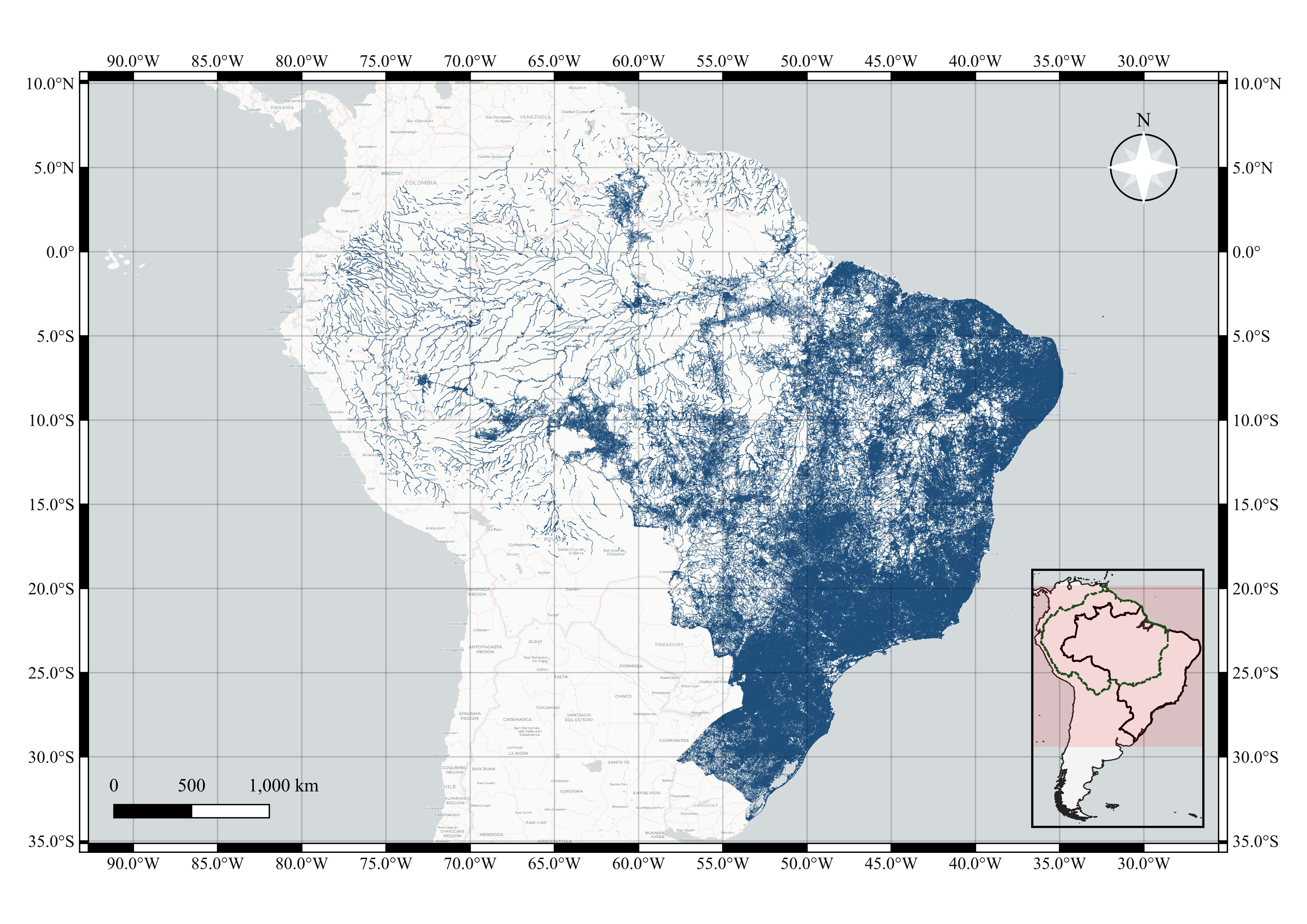
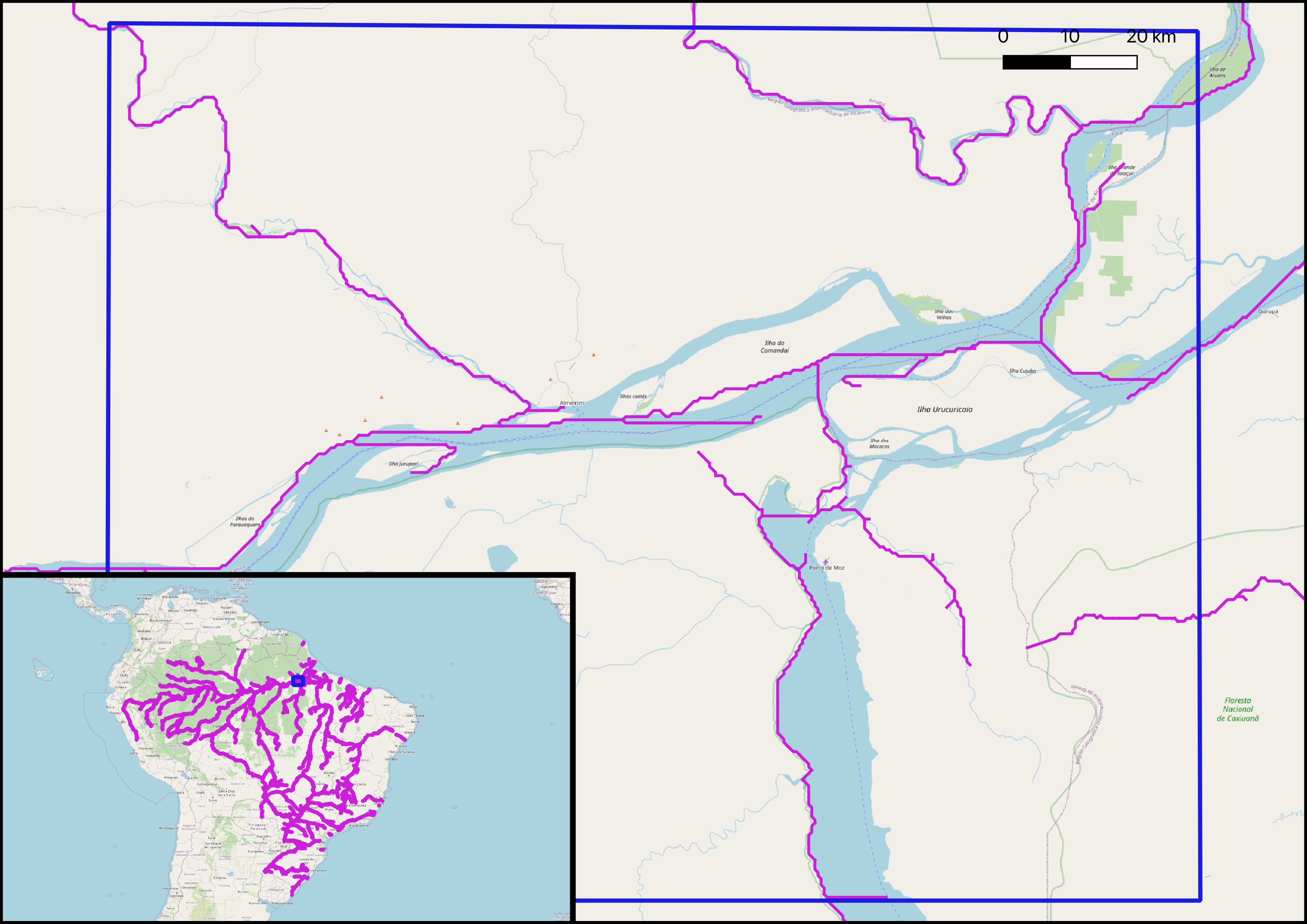
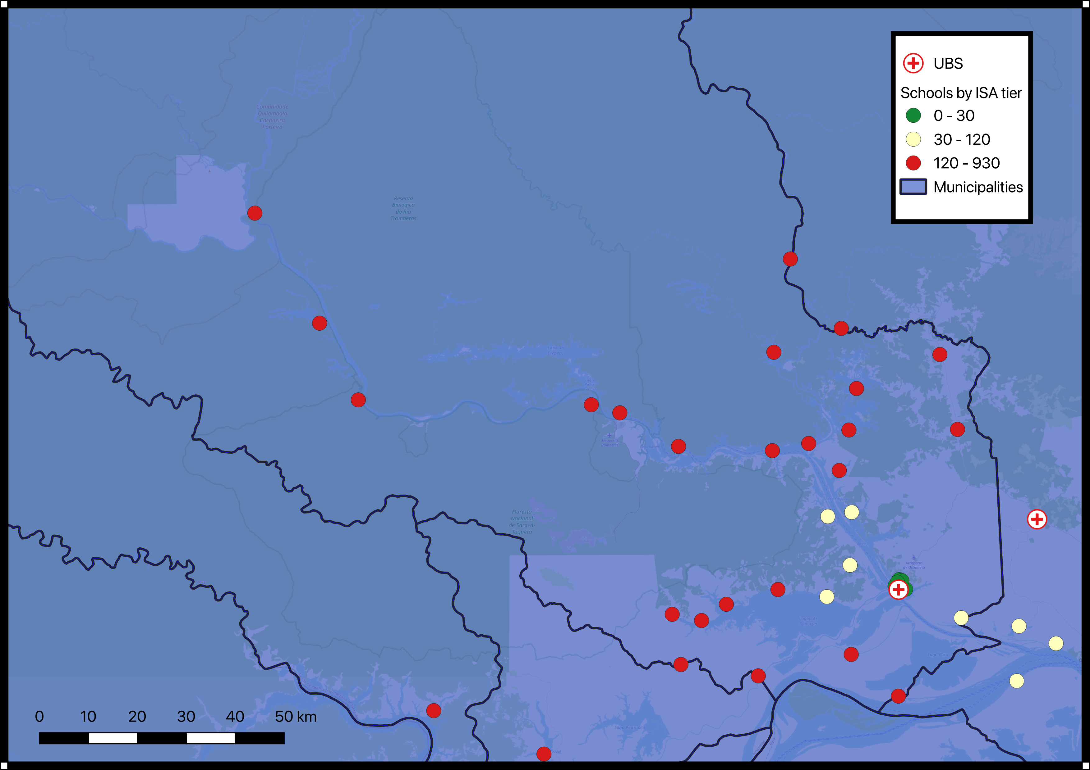
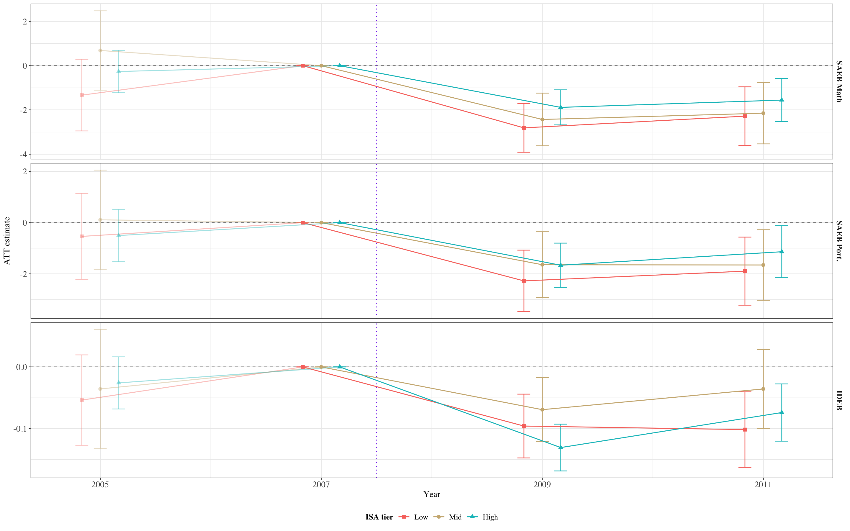
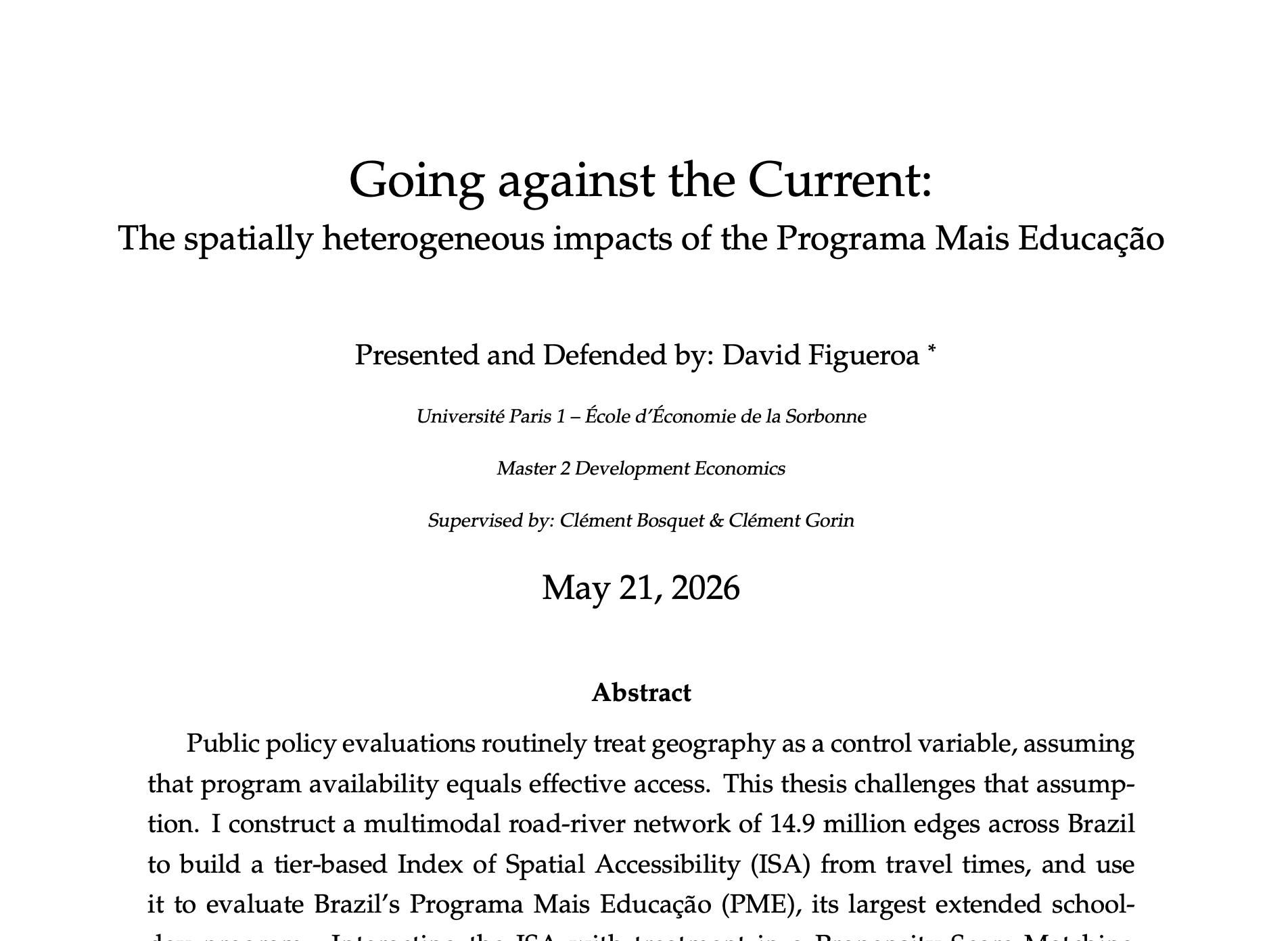
M2 Thesis: Elaborated a multimodal transportation network for land and rivers in the Amazon to measure spatial heterogeneous effects of an education public program in Brazil.
Final grade: 95.1.
Specialized in Data Science for the public good where I modeled a calculator of the cost of care in Mexico using Python, R, and Netlogo.
Building multimodal river-and-road networks for the Amazon to measure how connectivity mediates the effects of public policy.
Estimating economic activity at sub-municipal resolution from satellite-derived features when administrative data runs out.
Tracking how the spatial baricenter of world trade has shifted using HS6-level customs data.
Earlier work on the distributional effects of taxes and the economic value of unpaid care in Mexico.